Listen to this Post
Introduction:
The convergence of commercial satellite technology and real-time geospatial intelligence (GEOINT) has transformed modern conflict, shifting the battlefield from covert maneuvers to open-source exposure. Recent reports regarding China’s MizarVision satellite constellation highlight a new era where non-state actors and global adversaries can track US Central Command (CENTCOM) force movements with precision. This development underscores the critical need for cybersecurity professionals to understand satellite data interception, geospatial data analysis, and the hardening of communication links between space-based assets and ground stations.
Learning Objectives:
- Understand the role of commercial satellite constellations (like MizarVision) in modern OSINT and adversarial targeting.
- Learn how to analyze publicly available satellite data using open-source tools and APIs.
- Identify vulnerabilities in satellite-ground communication links and implement hardening techniques.
- Explore defensive measures to protect military and critical infrastructure from geospatial exposure.
- Gain hands-on experience with Linux tools for geospatial data processing and network security.
You Should Know:
1. Unpacking MizarVision: The Technology Behind the Exposure
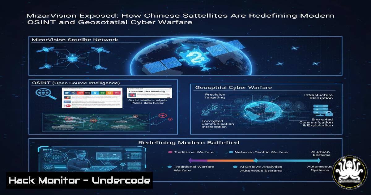
MizarVision is a Chinese commercial remote sensing satellite constellation capable of high-resolution Synthetic Aperture Radar (SAR) and optical imaging. Unlike traditional reconnaissance satellites, these systems provide near-real-time data accessible to commercial entities and state-aligned organizations. The recent exposure of US military redeployments in the Middle East demonstrates how open-access or semi-restricted satellite feeds can be weaponized for intelligence gathering.
To understand the risk, one must analyze the data flow: satellites capture imagery, transmit it via RF links to ground stations, and then distribute it via cloud platforms. Security flaws in any of these stages—unencrypted downlinks, weak API endpoints, or exposed data repositories—can lead to mass surveillance capabilities.
Step‑by‑step guide: Simulating Satellite Data Retrieval with Open Source Tools
While actual MizarVision data is proprietary, you can simulate the process using public datasets from Sentinel Hub or NASA Earthdata to understand the OSINT workflow.
Linux/macOS Commands for Data Acquisition:
 Install Sentinelsat library to query Sentinel satellite data
pip install sentinelsat

Example Python script to search for satellite images over a specific coordinate (e.g., a military base)
from sentinelsat import SentinelAPI, read_geojson, geojson_to_wkt
api = SentinelAPI('user', 'password', 'https://scihub.copernicus.eu/dhus')
footprint = geojson_to_wkt(read_geojson('map.geojson'))
products = api.query(footprint, date=('20250101', '20250228'), platformname='Sentinel-2')
api.download_all(products)
Windows PowerShell Alternative:
 Using wget to download public geospatial datasets
Invoke-WebRequest -Uri "https://earthexplorer.usgs.gov/download/12354/dataset.zip" -OutFile "dataset.zip"
Expand-Archive -Path dataset.zip -DestinationPath .\GeoData
This exercise replicates how adversaries might automate the collection of satellite imagery over strategic locations.
2. Exploiting Weak API Security in Geospatial Platforms
Many commercial satellite providers offer APIs for data access. If these APIs lack proper authentication, rate limiting, or encryption, they become attack vectors. An attacker could brute-force API keys, scrape metadata, or perform injection attacks to retrieve unauthorized imagery.
Step‑by‑step guide: Testing API Endpoint Security with cURL and Nmap
Identify exposed satellite data APIs using Nmap and test for common misconfigurations.
Linux Command:
 Scan for open API endpoints on a target IP range
nmap -p 8080,8443,443 --script http-enum 192.168.1.0/24

Test an API endpoint for missing authentication
curl -X GET "http://api.satellite-provider.com/v1/imagery/latest?lat=34.5&lon=38.5" -H "Accept: application/json"

If the API returns data without an API key, it is vulnerable.
Windows Command (using curl):
curl -X GET "http://api.satellite-provider.com/v1/imagery/latest?lat=34.5&lon=38.5" -H "Accept: application/json"
If the endpoint is vulnerable, an attacker could automate the download of real-time imagery, effectively mirroring the capabilities described in the MizarVision report.
3. Hardening Satellite Ground Station Communications
The link between satellites and ground stations is often susceptible to jamming, eavesdropping, or injection attacks. Implementing AES-256 encryption for downlinks and uplinks is essential, as is securing the ground segment network.
Step‑by‑step guide: Implementing IPSec for Ground Station Networks
Linux (Ubuntu) Configuration for StrongSwan IPSec:
sudo apt update && sudo apt install strongswan strongswan-pki
 Generate certificates
pki --gen --type rsa --size 4096 --outform pem > caKey.pem
pki --self --ca --lifetime 3650 --in caKey.pem --dn "C=US, O=GroundStation, CN=GroundCA" --outform pem > caCert.pem
 Configure IPSec in /etc/ipsec.conf
conn ground-to-satellite
keyexchange=ikev2
left=%defaultroute
leftcert=groundCert.pem
right=satellite-gw.example.com
rightsubnet=10.10.10.0/24
auto=start
Windows PowerShell (using built-in VPN):
 Add a VPN connection for secure tunnel to ground station
Add-VpnConnection -Name "SatelliteLink" -ServerAddress "satellite-gw.example.com" -TunnelType "L2tp" -EncryptionLevel "Required" -AuthenticationMethod MSChapv2 -SplitTunneling $false
This ensures that intercepted RF data remains unreadable without the proper cryptographic keys.
4. Cloud Security for Geospatial Data Repositories
Once imagery is processed, it is often stored in cloud environments. Misconfigured S3 buckets or Azure blobs have historically exposed sensitive military data. Applying strict IAM policies and encryption at rest is non-negotiable.
Step‑by‑step guide: Securing AWS S3 Buckets for Geospatial Data
AWS CLI Commands (Linux/macOS/Windows):
 Block public access
aws s3api put-public-access-block --bucket mizarsat-imagery --public-access-block-configuration BlockPublicAcls=true,IgnorePublicAcls=true,BlockPublicPolicy=true,RestrictPublicBuckets=true

Enable default encryption
aws s3api put-bucket-encryption --bucket mizarsat-imagery --server-side-encryption-configuration '{"Rules":[{"ApplyServerSideEncryptionByDefault":{"SSEAlgorithm":"AES256"}}]}'

Audit bucket permissions
aws s3api get-bucket-acl --bucket mizarsat-imagery
aws s3api get-bucket-policy --bucket mizarsat-imagery
Misconfigurations here could allow anyone with a link to view troop movements, exactly as the MizarVision incident implies.
5. Defensive OSINT: Monitoring Your Own Exposure
Organizations can use the same OSINT techniques to monitor their own digital and physical footprint. Tools like Shodan and Censys can identify exposed devices, while satellite imagery analysis can reveal physical infrastructure vulnerabilities.
Step‑by‑step guide: Using Shodan to Find Exposed Ground Station Equipment
Linux/Bash:
 Install Shodan CLI
pip install shodan
shodan init YOUR_API_KEY
 Search for satellite modems
shodan search "satcom modem" --limit 10 --fields ip_str,port,org
Windows Command:
shodan.exe search "satcom modem" --limit 10 --fields ip_str,port,org
If your own equipment appears, it indicates a severe operational security lapse.
What Undercode Say:
- Key Takeaway 1: The weaponization of commercial satellite data is no longer theoretical; MizarVision proves that near-real-time geospatial intelligence is accessible to state and non-state actors, forcing defenders to adopt a “digital camouflage” mindset.
- Key Takeaway 2: Securing the entire data lifecycle—from satellite downlinks to cloud storage—is imperative. A single misconfigured API or unencrypted feed can expose strategic military movements, undermining billions spent on physical stealth.
The MizarVision incident serves as a stark reminder that cybersecurity now extends into the physical realm via space assets. Professionals must bridge the gap between traditional IT security and space systems engineering, ensuring that encryption, access controls, and continuous monitoring are applied from orbit to endpoint. Ignoring this convergence leaves national security exposed to anyone with an internet connection and a satellite dish.
Prediction:
Within the next 18 months, we will witness the first major cyber conflict targeting commercial satellite constellations. Attack vectors will shift from simple data scraping to active manipulation of satellite imagery (deepfake geospatial data) and ransomware targeting ground station operations. Nations will be forced to establish “space cybersecurity norms,” but not before a significant incident exposes the fragility of our current orbital infrastructure.
▶️ Related Video (80% Match):
🎯Let’s Practice For Free:
IT/Security Reporter URL:
Reported By: Carlos V – Hackers Feeds
Extra Hub: Undercode MoN
Basic Verification: Pass ✅


